The Manila Observatory (MO) is a research institution that pursues science to empower vulnerable communities to address the urgent challenges of sustainable development and disaster resilience.
MO issues Extreme Weather Bulletins (EWBs) when a typhoon may potentially impact the Philippines. The Risk-Informed EWBs are intended to improve the selection of Areas of Interest (AOIs) for Emergency Observation and Mapping (EO/M). In effect, the risk-informed EWBs rationalize the selection of AOIs for satellite pre- and post-disaster monitoring.
Risk is defined as the confluence of hazards, exposures, and vulnerabilities (IPCC, 2012; 2014; 2022). The local AOIs are requested through the Sentinel Asia (SA) OPTEMIS (optemis.sentinel-asia.org) in the form of Emergency Observation Requests (EORs). The members of SA data provider node (DPN) and data analysis node (DAN) provides pre-, post-, and during disaster satellite imageries, and value-added products (VAPs). These EORs are elevated to the International Disaster Charter (IDC) during extreme events. Upon the availability of satellite observations and VAPs, the actual impact assessments covered by AOIs are generated.
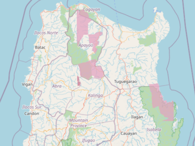
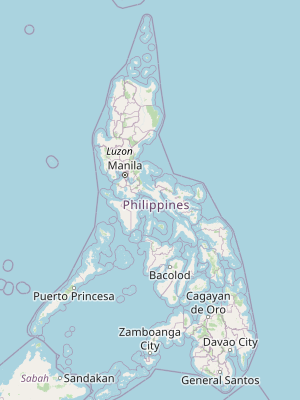
Featured Maps
National to Regional Scale


Actual Impact on Areas of Interest
Partners